Sunday, February 10, 2019

Warmth of Winter


.


On most of those short days in far north, I drove about 250 miles, about the same as a migrating Canadian goose.  I say short days because the sun never rose far above the horizon, and it seemed like sunrise or sunset was never long in coming.  The snow that fell on most of those overcast, usually sub-zero days, was either loose like baking flower or packed like tortillas.  When loose, it was taken up by even a slight wind into waves like little low clouds.  Sometimes driving the jeep seemed like sailing a boat through white rippled water.  And on those rare events when a car, or more likely a big rig, approached from the other direction, it billowed up a cloud of snow that obliterated all visibility for about ten seconds.  And when the snow became tortilla, it was not slippery like ice, but almost as safe to drive  
on as asphalt.


They say that once you've done the Alcan, you have bragging rights any time your friends start talking about their road trips.  But it’s not worth the bragging rights.  I performed my obligation and achieved my full desire in just getting to Fairbanks, and had plenty of pleasures along the way.  Some of you worried more about me than I had the sense to worry about myself.


You know by now that I did not return the way I went north, but drove a mostly different route to where a ferry came and whisked me and the jeep off to the lower 48.  Here in Corvallis, Oregon, I’m most of the way home now, and will arrive on Tuesday.  

This map shows in a general way the trips up and back and how different they were. 


Click on  Michael's Map  to show accurately all of the places I spent the night, except those four nights aboard the ferry.  You can zoom and pan on this map and find my exact routes in case you wish to also have bragging rights.  


I will probably do a presentation at Kathabela’s place on Friday, February 22.  Watch for further information as the time approaches.  I am also open for invitations wherever a group wants to have me.  


Thanks to all who commented, either by email or directly on the blog.  You helped me through the ice. 


Stay Warm

Friday, February 1, 2019

Arora Borealis


.


Low in the western sky, competing for brightness with electric lights, like a green snake, came the northern lights.  Those white streaks, looking like shooting stars, are real stars, streaked as my tripod sank slowly into the snow.  (exposure time 2 seconds, f4, focus infinity)  


I have never taken pictures like this before—hands freezing, can’t see the camera, watching fast-moving fingers of Arora borealis as they move toward me from west to east with twists and sweeps of green arms.  


You can find more crisp and vivid find pictures on the web, but standing there in the cold night, immersed in this moving panorama in the sky, was so breathtaking that I forgot how cold my hands were. Gloves don’t work with the camera, so I hurried back inside to see if any of the pictures turned out.  After seeing they did, I was back out into the cold, spectacular night. 


I almost forgot to show you pictures, taken yesterday, of the mountains and the hike on Healy Mountain View Trail in Denali National Park.   


On the trail up to one of the minor peaks, not nearly as high as Denali at 20,310 feet, trudging in fairly solid snow, spruce trees tend to lean over in shifting permafrost.  It’s the way buildings used to lean over and roads heaved, before we learned to build like trees live, letting the earth do what it will, while we barely survive.   


Michael Angerman has kept a map during this long trip, showing all of the places where I spent the night.  Please view his map at:     Michael's Map  You can pan zoom to see more detail or more area as you choose.   

Wednesday, January 30, 2019

Denali


The mountain is always present, but sometimes it hides.  Tomorrow is supposed to be sunny and clear, but yesterday it snowed and today clouds hang low.  Only these few fuzzy shots give some idea of what this majestic peak must be like on a sunny day in winter.  


Many hotels flank the entrance to the park, and they stay full in summer.  Only the Totem Inn and one other are open in winter, and the Totem is less than half full.  For me, it’s the beast time to come. 


The Princess Hotel serves Princess Cruise passengers coming up the inside passage in summer, as part of a package, but it is closed for the winter.  


Creatures of the snow—who are they?  Do they understand impermanence?   


The crow fluffs his feathers and settles in on a limb. Tomorrow, I’ll fluff mine for a hike to Mount Healy Overlook.  Moderately steep, through forest, which gives way to tundra.  Trees turn to shrubs, and the landscape opens wide. Three to four hours round trip, they say.  


The Nenana River is crusted with ice all winter, but in the spring, the ice will suddenly break up.  

You can submit a date and time for when you think the breakup will happen.  It costs $2.50 to enter, and last year the winner got $225,000. The deadline to mail your guesses is April 5th, 2019    https://www.nenanaakiceclassic.com/      


Here they are setting up a tripod out on the river.  It will collapse when the ice breaks up, and the time will be marked to the nearest minute.  No, this huge tripod will not be lost in the river; they have cables attached with which to haul it ashore.    


Michael Angerman has kept a map during this long trip, showing all of the places where I spent the night.  Please view his map at:     Michael's Map  You can pan zoom to see more detail or more area as you choose.

Friday, January 25, 2019

Quest Accomplished


,


On the last night before the final push to Fairbanks, I was the only guest at a small motel in Tok, Alaska,.  It is one of several little, small-town establishments where I was the only, or almost only, guest.  I met one tourist since Dawson Creek; the rest were truck drivers, local residents, or traveling merchants and the like.  


A frozen lake under a blanket of snow, upon which mountains appear to float, illuminated with light from the sun, which never rises far above the horizon. 


Trees up here seem to know that to grow wide is to break under inevitable load.  Tall and slender are traits learned through many generations of trial and error; and yow to dress for the cold is a trait being learned by this nomad. 


The Road, and it is the only through road, goes on and on, day after day, seldom giving up its beauty, seldom its ice, always a long way between human habitations.  Relaxed driving is for fools and the unaware.  The trick is to respect the road with its devious hazards and still be in awe of the beauty all around.  


I will spend a few days in Fairbanks with my niece, Lynno, and the children she cares for in her home, along with her three teenage sons. 


Michael Angerman has kept a map during this long trip, showing all of the places where I spent the night.  Please view his map at:     Michael's Map  You can pan zoom to see more detail or more area as you choose.   


Sunday, January 20, 2019

The Far North


Maybe there is only one Road, like a great river, and every path a tributary.  All places lived, men loved, things enjoyed and stolen, built and left behind, pleasures found by accident,; they all merge into this horrendously long Alaskan Highway.  I live these days on the road as though they are my last, for they very well could be. 


The road is gray with morning light, which strikes the tops of clouds, giving only what light the clouds do not absorb—gray twilight lasts a major part of the day.  


Sometimes a break from the cold, given to northern travelers by some hot furnace within the earth, melts a path of ice and snow.  Laird Hot Springs is a public place, a short hike from the highway.  There’s a stairway into the water, where you can soak as if in the tropics.  


Animals on the highway don’t understand fast cars and trucks.  These friendly bison just stood there for the camera.  


Were it not for diligence of Canadian show-plow drivers and drivers of trucks that spread sand, I could not be here.  They come plowing and spreading even when the road seems clear.  But they cannot remove snow that has been packed into hard ice; this remains for me to decide whether it is sanded and relatively safe, or maybe black ice.  


I took two days off in Whitehorse, a respite from the tension of driving to a goal, and transmuted myself into a tourist. The Dirty Northern is an excellent pub and restaurant, though you’d never suspect it from the sidewalk.  And the Miner’s Daughter boarding house next might be a good, long-term residence.   


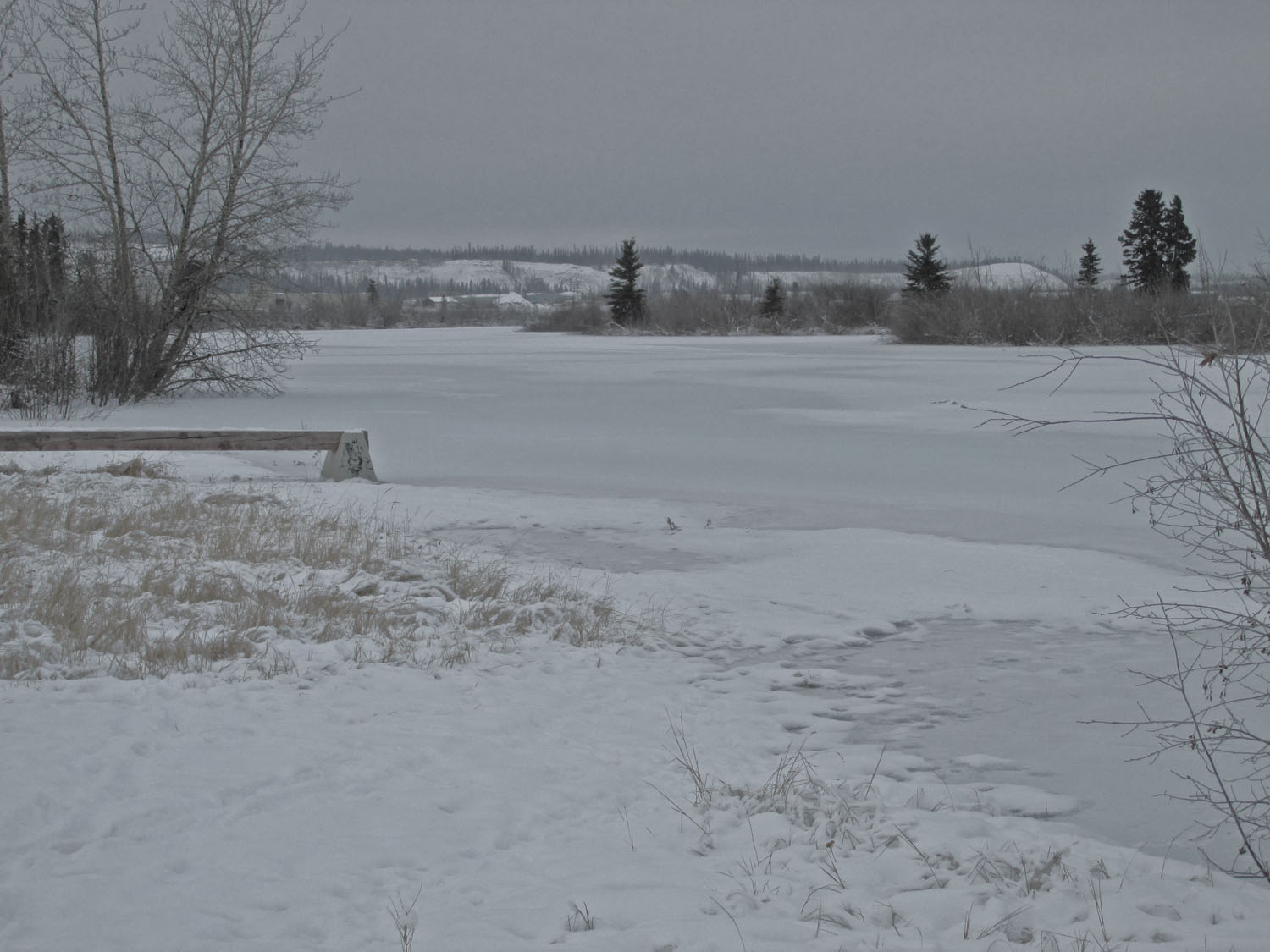
The Yukon River runs alongside Whitehorse, some of it with visible flowing water, and some covered with snow.  


They’ve built a fancy condo by the river, called River’s Reach, with views of the River and the mountains beyond.  The project must be a success, because beside it, River’s Reach II is going up.  These workers seem quite happy to build it in windy air well below zero. 


On this hill in the city park, sledders enjoy a Saturday afternoon, and skaters cruise along the flooded and groomed pathway.  


I have driven into a world of discovery.  Not the glamour I had thought it would be—skiing in the woods, snowy ventures into the realm of moose and elk.  I predicted my daily schedule on the long drive—daylight for the work of driving, the long dark hours for whatever attracts me and weather permits.  I have had to change my expectations.


Michael Angerman is keeping a map showing all the places where I spend the night on this long drive.  Please view his map at:     Michael's Map  You can pan zoom to see more detail or more area as you choose.