Sunday, January 20, 2019

The Far North


Maybe there is only one Road, like a great river, and every path a tributary.  All places lived, men loved, things enjoyed and stolen, built and left behind, pleasures found by accident,; they all merge into this horrendously long Alaskan Highway.  I live these days on the road as though they are my last, for they very well could be. 


The road is gray with morning light, which strikes the tops of clouds, giving only what light the clouds do not absorb—gray twilight lasts a major part of the day.  


Sometimes a break from the cold, given to northern travelers by some hot furnace within the earth, melts a path of ice and snow.  Laird Hot Springs is a public place, a short hike from the highway.  There’s a stairway into the water, where you can soak as if in the tropics.  


Animals on the highway don’t understand fast cars and trucks.  These friendly bison just stood there for the camera.  


Were it not for diligence of Canadian show-plow drivers and drivers of trucks that spread sand, I could not be here.  They come plowing and spreading even when the road seems clear.  But they cannot remove snow that has been packed into hard ice; this remains for me to decide whether it is sanded and relatively safe, or maybe black ice.  


I took two days off in Whitehorse, a respite from the tension of driving to a goal, and transmuted myself into a tourist. The Dirty Northern is an excellent pub and restaurant, though you’d never suspect it from the sidewalk.  And the Miner’s Daughter boarding house next might be a good, long-term residence.   


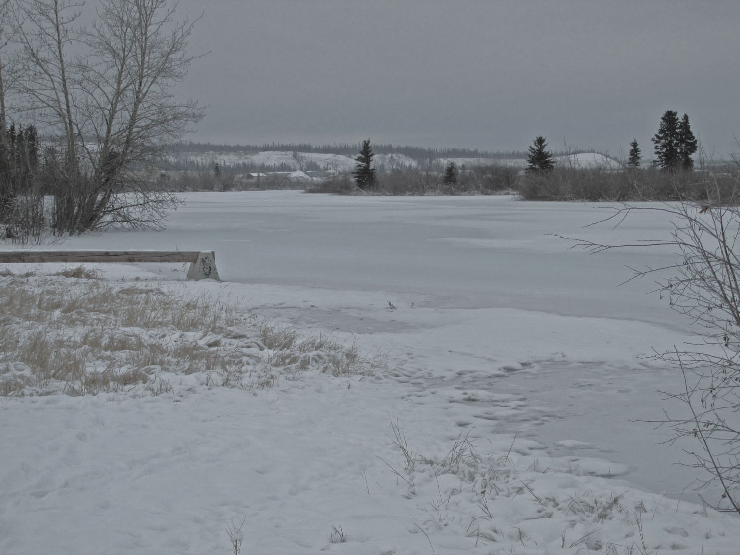
The Yukon River runs alongside Whitehorse, some of it with visible flowing water, and some covered with snow.  


They’ve built a fancy condo by the river, called River’s Reach, with views of the River and the mountains beyond.  The project must be a success, because beside it, River’s Reach II is going up.  These workers seem quite happy to build it in windy air well below zero. 


On this hill in the city park, sledders enjoy a Saturday afternoon, and skaters cruise along the flooded and groomed pathway.  


I have driven into a world of discovery.  Not the glamour I had thought it would be—skiing in the woods, snowy ventures into the realm of moose and elk.  I predicted my daily schedule on the long drive—daylight for the work of driving, the long dark hours for whatever attracts me and weather permits.  I have had to change my expectations.


Michael Angerman is keeping a map showing all the places where I spend the night on this long drive.  Please view his map at:     Michael's Map  You can pan zoom to see more detail or more area as you choose. 


Thursday, January 17, 2019

Hypnotic Highway


I drove 2600 miles to Muncho Lake in British Columbia, near Yukon Territory, with about 1100 miles remaining to Fairbanks.  


The road has been smooth and paved, with snow plows and sand spreaders coming often to keep it open.  They can’t use salt to melt the ice and packed snow because salt is not effective below twenty degrees, and its not been above zero in the last two days.  


These wild goats were easy to photograph, but most of the large beasts—elk, moose, deer—run away too fast.  I saw several dead moose, hit by vehicles, probably in the night.  More big rigs drive this road than cars, and maybe they drive at night.  I don’t.  


It may be easier to see the ancient northern Rocky Mountain geology in winter than in summer.  Snow outlines the layers of metamorphic rock, uplifted long ago and eroded down from Himalaya-size mountains that once stood here.


I hope to write more and include more pictures in the days ahead, but internet is slow and often not available.  Cell phone service is almost nonexistent.  


Tetsa River Lodge


Michael Angerman is keeping a map showing all the places where I spend the night on this long drive.  Please view his map at:     Michael's Map  You can pan zoom to see more detail or more area as you choose.  

Saturday, January 12, 2019

Canada’s January


.


The Canada border came with rumors of drag-out searches of American’s cars in retaliation for Trump’s insults of their Prime Minister.  But the crossing was easy, with only a few simple questions. 


In Cache Creek, 200 miles north of the border, it was just me and one other traveler at the motel.  Winter is not a favorite vacation time for some reason.  With the air above freezing, the use of my engine heater seemed unnecessary.  But the other tenant had his plugged in, so I did the same, just as a first all-night test.  See the electric wire running  from his car to an outlet on a post.


At the restaurant across the highway, I was the only customer, and the baked lasagna was good.  Notice the barren hills behind the Pub; they call this area the Arizona of Canada.


About the same number of big rigs as cars and pickups accompanied me on the road form Cache Creek to Prince George, and not many of either.  Cars increase near towns, but on the long stretches between towns the road is pretty vacant.  


Idyllic villages sometimes dot the shores of frozen lakes, now partly melted from warm weather.  Seeing them while driving on pavement, not covered in ice or snow, seems undeserved.


“I wonder if the snow loves the trees and fields, that it kisses them so gently?  And then it covers them up snug, you know, with a white quilt; and perhaps it says, "Go to sleep, darlings, till the summer comes again." And when they wake up in the summer, they dress themselves all in green, and dance about.” —Through the Looking Glass, Lewis  Carroll 


Michael Angerman is keeping a map showing all the places where I spend the night on this long drive.  Please view his map at:  Michael's Map  You can pan and zoom to see more detail or more area as you choose.  


Wednesday, January 9, 2019

Getting through Washington


Slow water of the Columbia River, separates Oregon and Washington.  It must have been a treat for Lewis and Clark when they canoed down it in 1812, after all they’d been through. 


Though salmon were plentiful, they didn’t eat them, preferring deer meat, though it came at much greater effort.  I drove along both sides of the river under low clouds, snow and rain, and had salmon for dinner at The Dalles.  


But yesterday’s drive through Washington was by far the hardest—rain, snow, wind, and Seattle—a hundred miles of traffic like Los Angeles in the snow.  After getting through it, I found this fine little café and knew that country life is better than city.


I write this in Bellingham, Washington, just south of the border where real winter begins, I’m told.  Like an immigrant from Honduras who has traveled 1400 miles to get this far, I wait in hope of crossing without too much hassle. 

Michael Angerman is keeping a map showing all the places where I spend the night on this long drive.  Please view his map at:  Michael's Map  You can pan zoom to see more detail or more area as you choose.

Sunday, January 6, 2019

Friends and Family


.

Mt. Shasta in June, 2012


On the way from Pasadena to friends in Corvallis, Oregon, you pass by one of earth’s most spectacular places—Mt. Shasta.  I tried to climb it in June of 2012 and got as far as that horizontal strip of exposed rock you see high in the slope, most of the way to the summit, called the Red Banks.  I turned back because of weather and an error in planning.  


Mt. Shasta on January 4, 2019


On a wintry northward drive, an overcast sky opened in a seemingly miraculously act, presenting just for me a fine view of this inspiring peak, raising the memory of having tried to reach its top.  Now six years later that attempt seems, not failure, but a step in progression toward something better.  I did the best I could given an imperfect mind and body.   


Into the woods just outside Corvallis, we feel deep in the Amazon, surrounded and covered over by trees, moss and hanging epiphytes.  A few sprinkles, but mostly typical winter overcast and high humidity, with temperatures around forty.  Some people find days like this depressing and bad for their respiratory conditions, but it seemed to me just fine.  And when the sun pops out, the beauty is truly inspiring.   


Michael Angerman and me in the deep woods, just ten miles from his home, after a fine drive on a country road.  Admiring the seemingly dead oak trees, we know they are alive because of brown leaves under our feet, leaves that died to become the tree’s food to grow more leaves—the trees’ full acceptance of life and death—example of how to live. 


Have you ever seen the forest on a tree?  These oaks provide housing for thousands of friendly renters.  Epiphytes don’t sap energy from the tree; they just hang there in harmony with their host, as I hang on the Angerman tree for awhile before heading farther north.  


Peter Day and Michael Angerman


Michael and Peter have been friends for many years, and with Michele and I present in their home, it was a congenial and reflective evening, a fine little party.   


Michael and Michele
at the Willamette River
 Sharon and Michael
at the Willamette River

.  


Michael Angerman is keeping a map showing all the places where I spend the night on this long drive.  Please visit his map at:  Michael's Map  You can pan zoom to see more detail or more area as you choose.